Six Essential Elements - Graphic Display
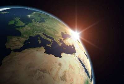
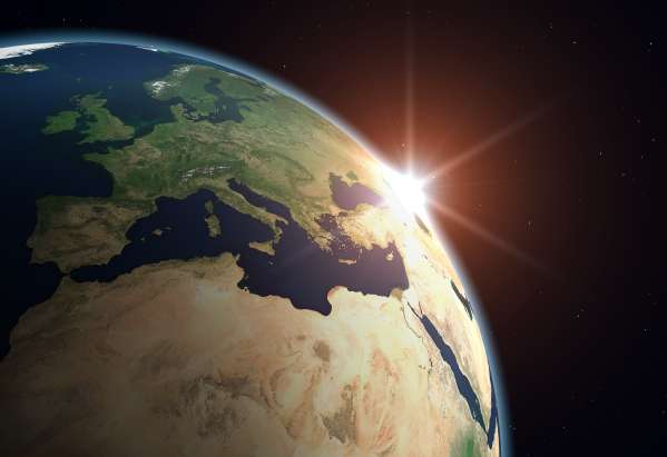
Essential Element 1: The World in 'Space-tial' Terms
This image reminds us that when we are using maps, globes, and atlases, we are referring to something much grander, much more beautiful than can be captured by anything human-made. The locational technology like GPS requires satellites orbiting high above the Earth. This image can also help students remember that their ‘mental maps’ are not two dimensional pieces of paper, but actually huge land masses, surrounded by even more massive bodies of water.